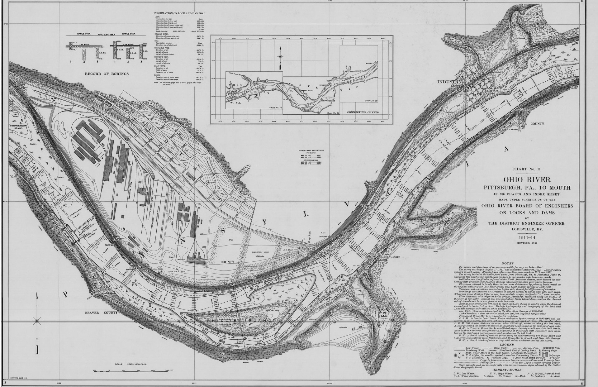
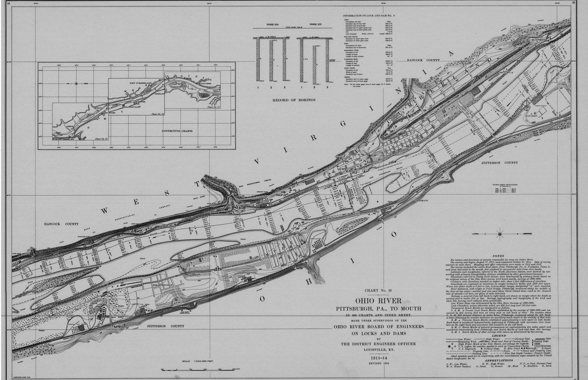
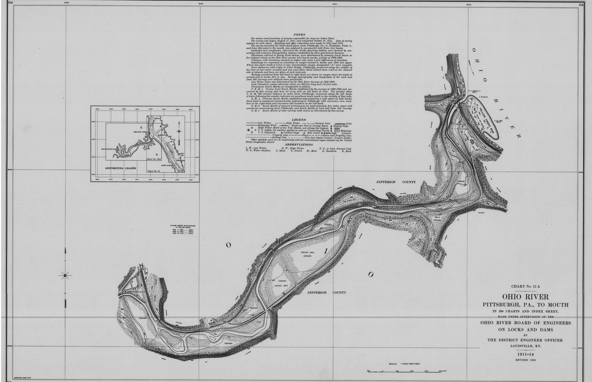
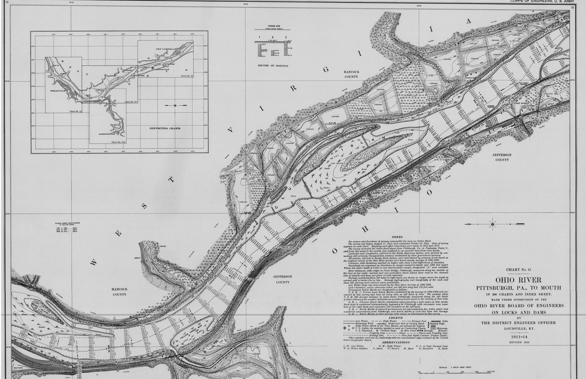
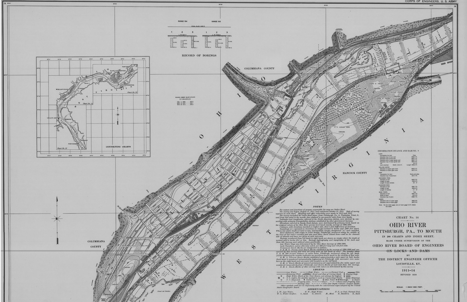
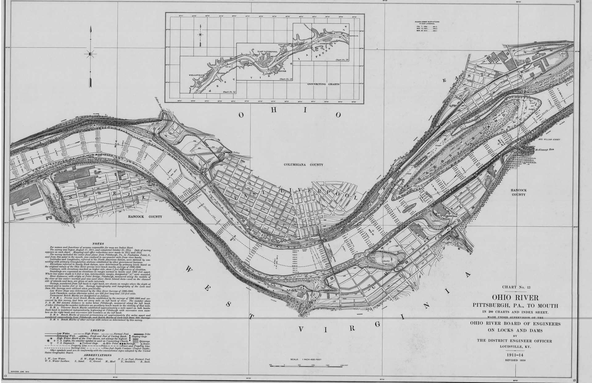
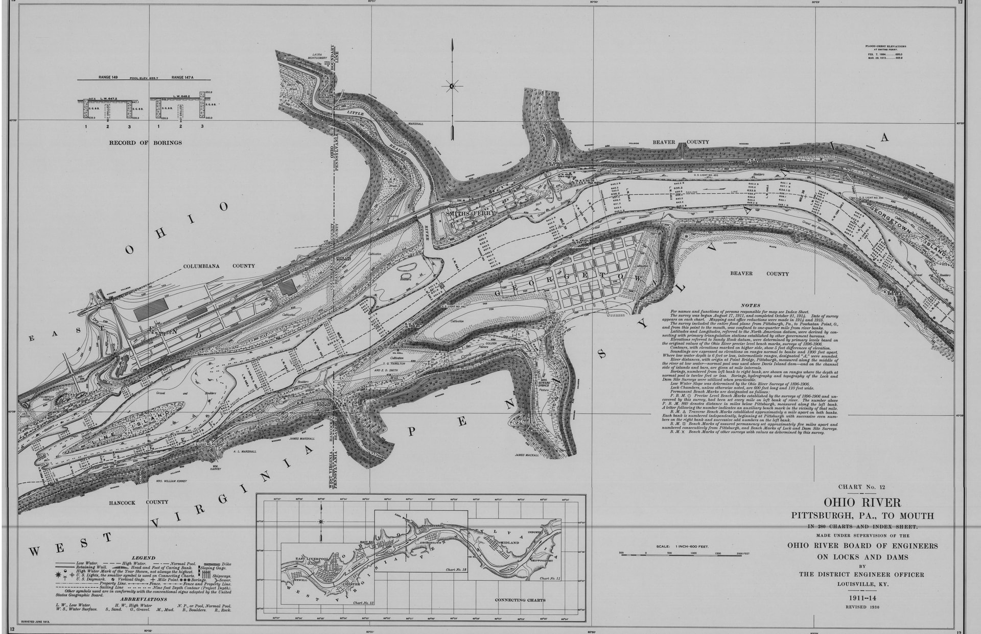
We are defining our core Crockery Valley, the Crockery City Shard Pile, by the published-in-1914 Ohio River Survey of the Ohio River from work done by the Ohio River Board of Engineers on Locks and Dams in 1911-1914 as revised in 1930. These are the documents that were used to engineer our old river out of existence. The Crockery Valley Shard Pile is defined by maps 12-14 and runs from Georgetown Island through Wellsville, OH. The Broader Crockery Valley, the Crown of the Ohio, runs from Industry, PA through New Cumberland, Charts 11-16. We can go even broader if we need to, one possibility is Steubenville to Beaver, as that incorporates the Traction & Light companies’ work.